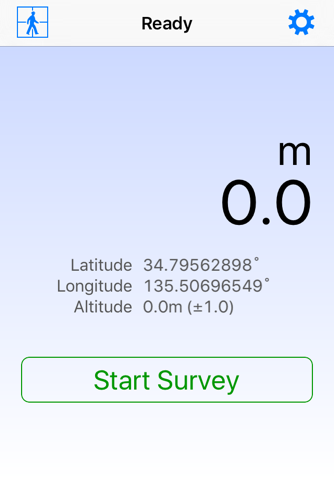
This simple tool utilizes GNSS (Global Navigation Satellite System) to survey distances on foot. The survey results, or tracking data, can be conveniently checked using an iOS map and are easily shareable via file sharing.
Settings:
- Remove Ads: This option removes ads via in-app purchase and displays a toolbar.
- Units: Choose between meter, international foot, or U.S. survey foot.
- Distance Calculation Methods: Options include iOS Default, Haversine, Hubeny (Simple Formula), Bowring, or Hubeny (Original). Bowrings method offers the best accuracy.
- Reference Ellipsoid: Choose between WGS84 or GRS80.
- GNSS Accuracy: Specify the allowed range of error.
- Automatic Shut Off: If theres no movement for about 5 minutes, surveying will stop automatically.
- Do Not Use Thumbnail: This option hides thumbnails.
- Use Light Mode for Maps: The map is displayed in light mode even if you are using dark mode.
Notice:
Continued use of GNSS running in the background can dramatically decrease battery life.


